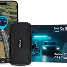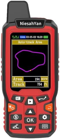
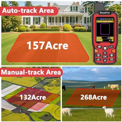

Description
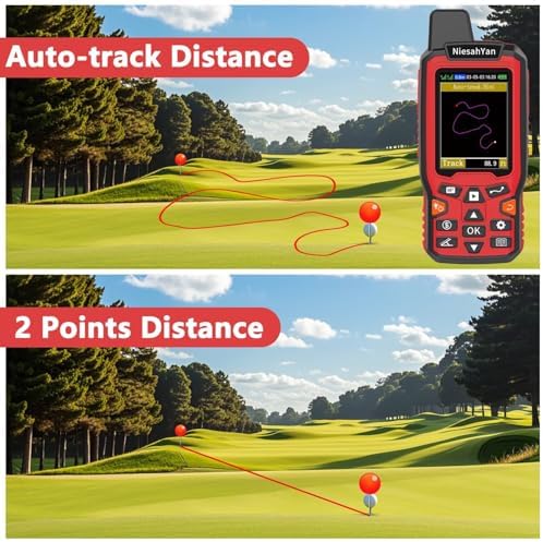
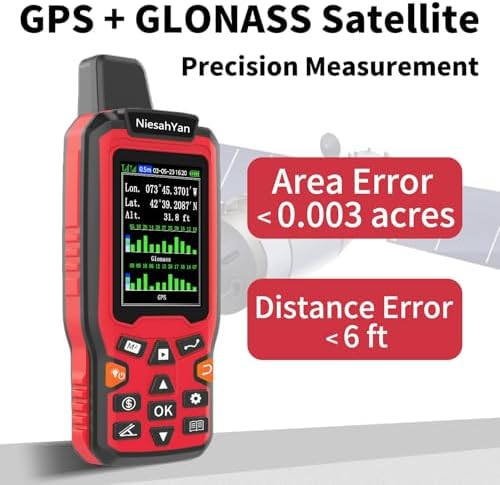
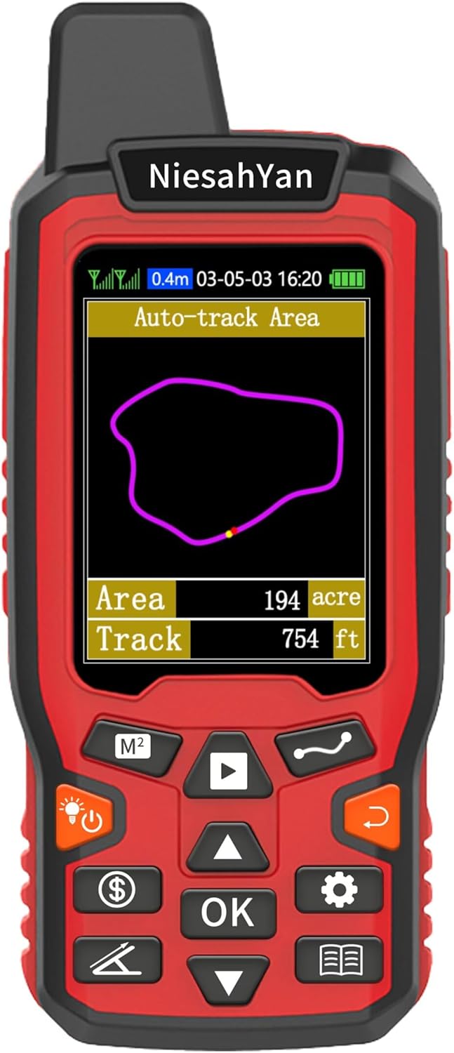
Introducing the ZL180 Handheld GPS for Surveying, the ultimate solution for high precision land measurement. Designed for professionals in ranching, gardening, farmland management, and parking area assessments, this rugged GPS device delivers unparalleled accuracy and reliability in the field.
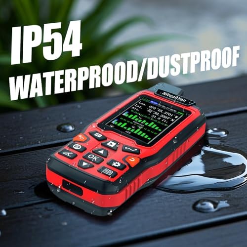
With advanced satellite technology, the ZL180 ensures precise distance measuring, making it an essential tool for surveyors and landowners alike. Its durable construction withstands harsh outdoor conditions, ensuring longevity and performance in any environment. The user-friendly interface allows for quick navigation and easy data recording, streamlining your surveying tasks.
Whether you’re mapping out property lines, planning garden layouts, or measuring parking spaces, the ZL180 Handheld GPS is your go-to equipment for efficient and accurate surveying. Elevate your land management projects with this high-quality, dependable GPS device that combines functionality with rugged design. Experience the difference in precision and ease of use with the ZL180 today!


![Linville Gorge, Mount Mitchell Map [Pisgah National Forest] (National Geographic Trails Illustrated Map, 779)](https://travelswithme.org/wp-content/uploads/2025/11/linville-gorge-_0-224x224.jpg)


![Pisgah Ranger District Map [Pisgah National Forest] (National Geographic Trails Illustrated Map, 780)](https://travelswithme.org/wp-content/uploads/2025/11/pisgah-ranger-d_0-224x224.jpg)